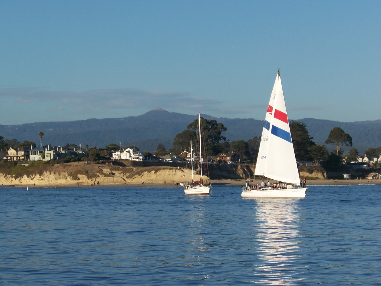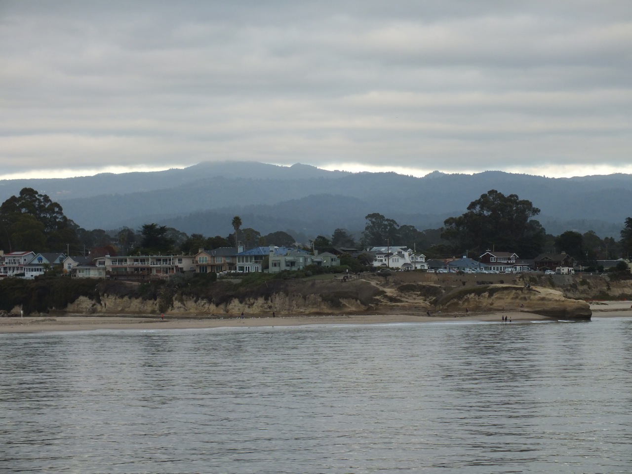

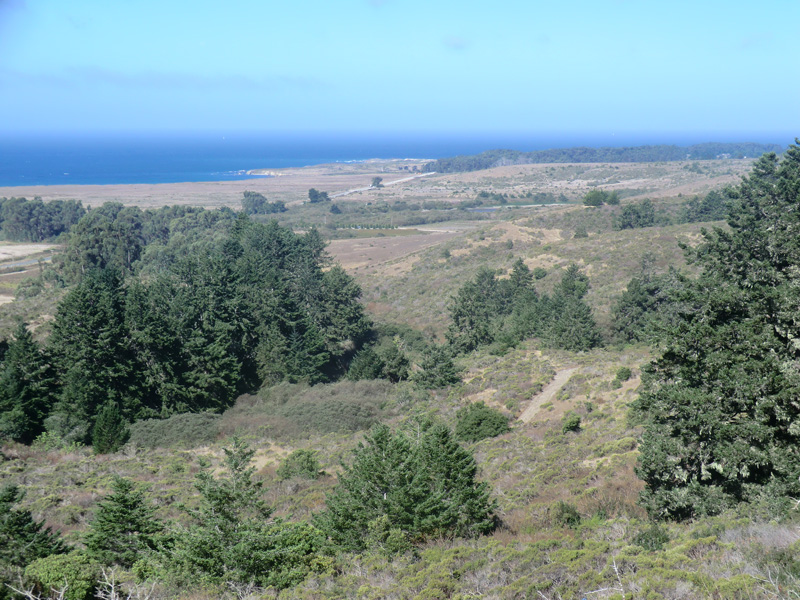
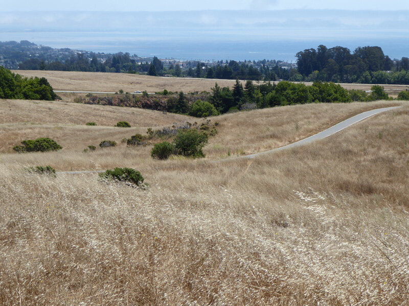
View of Monterey Bay from Sempervirens Point off Highway 9
More About the Santa Cruz Mountains and the Bioregion

As shown on this map, the Santa Cruz Mountains stretch from San Francisco on the north to Watsonville and the Pajaro River on the south. The Santa Cruz Mountains Bioregion encompasses all that area that receives rainfall drainage off the mountain range. It is bordered by the Pacific Ocean and Monterey Bay on the west and San Francisco Bay and the Santa Clara Valley on the east. It thus encompasses the entire San Francisco Peninsula and the northern half of the greater Monterey Bay area. See a more detailed map of the Bioregion here.
Unlike county lines, the Bioregion boundary is a natural boundary that reflects the geology, soils, climate zones, watersheds, vegetation types, and biotic communities that, over time, have shaped this portion of California.
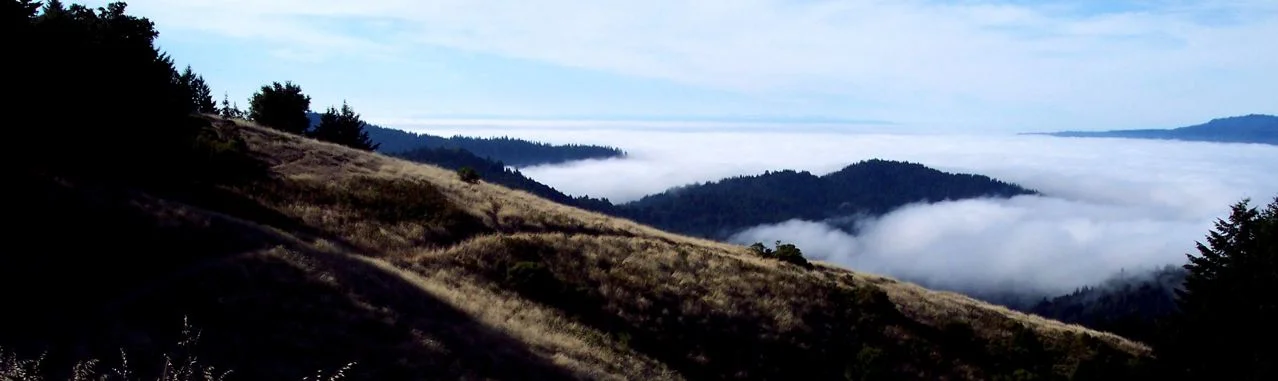
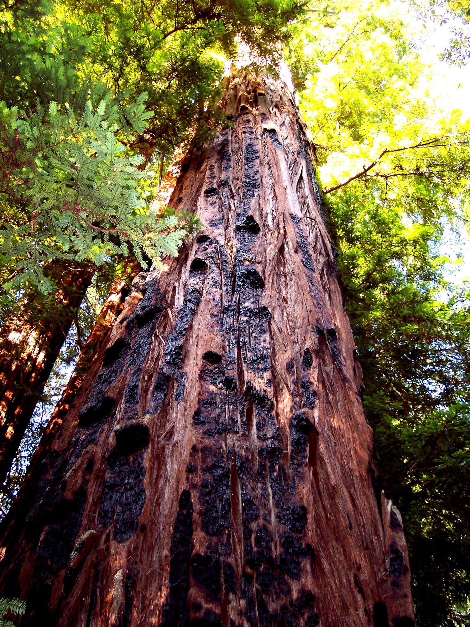
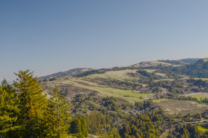
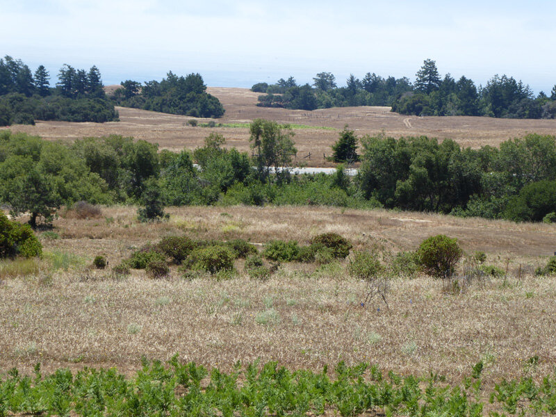
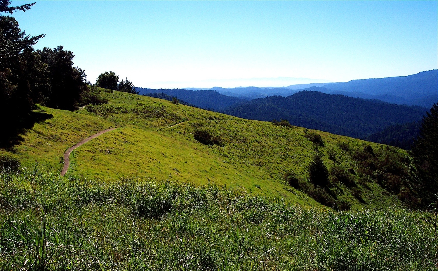
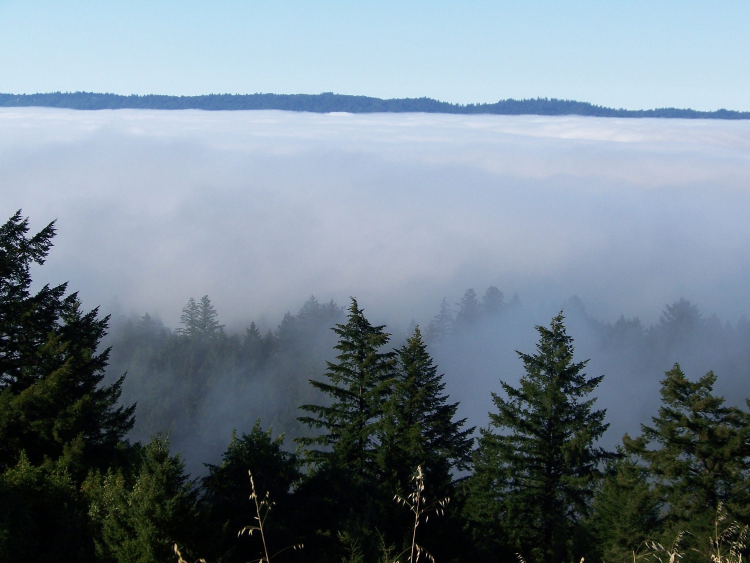
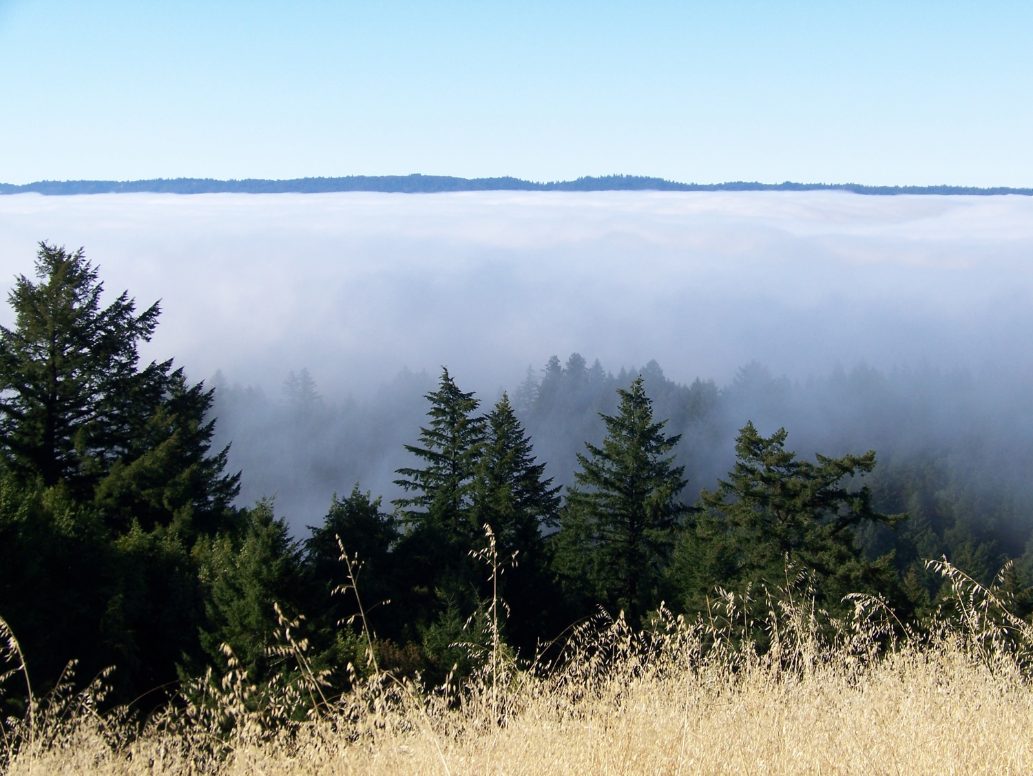
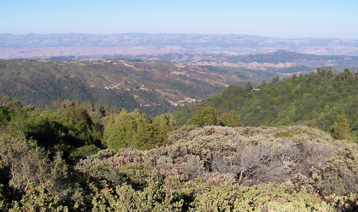
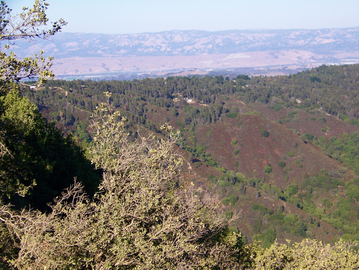
Views of the Santa Cruz Mountains
Descriptions of Sub Regions (NW, SW, NE, SE)
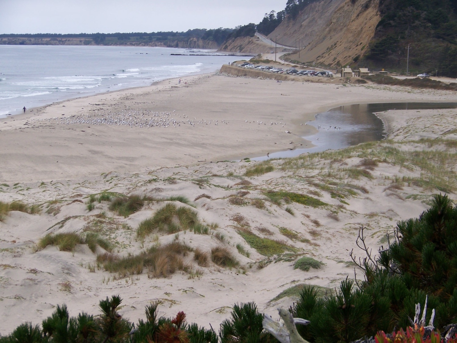
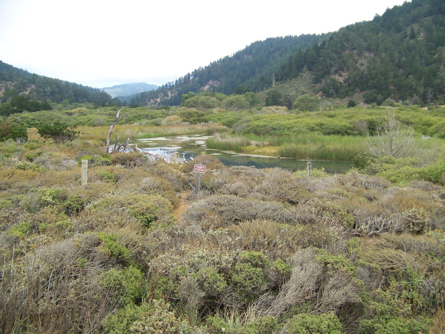
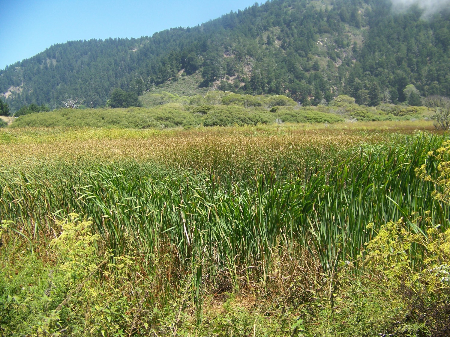
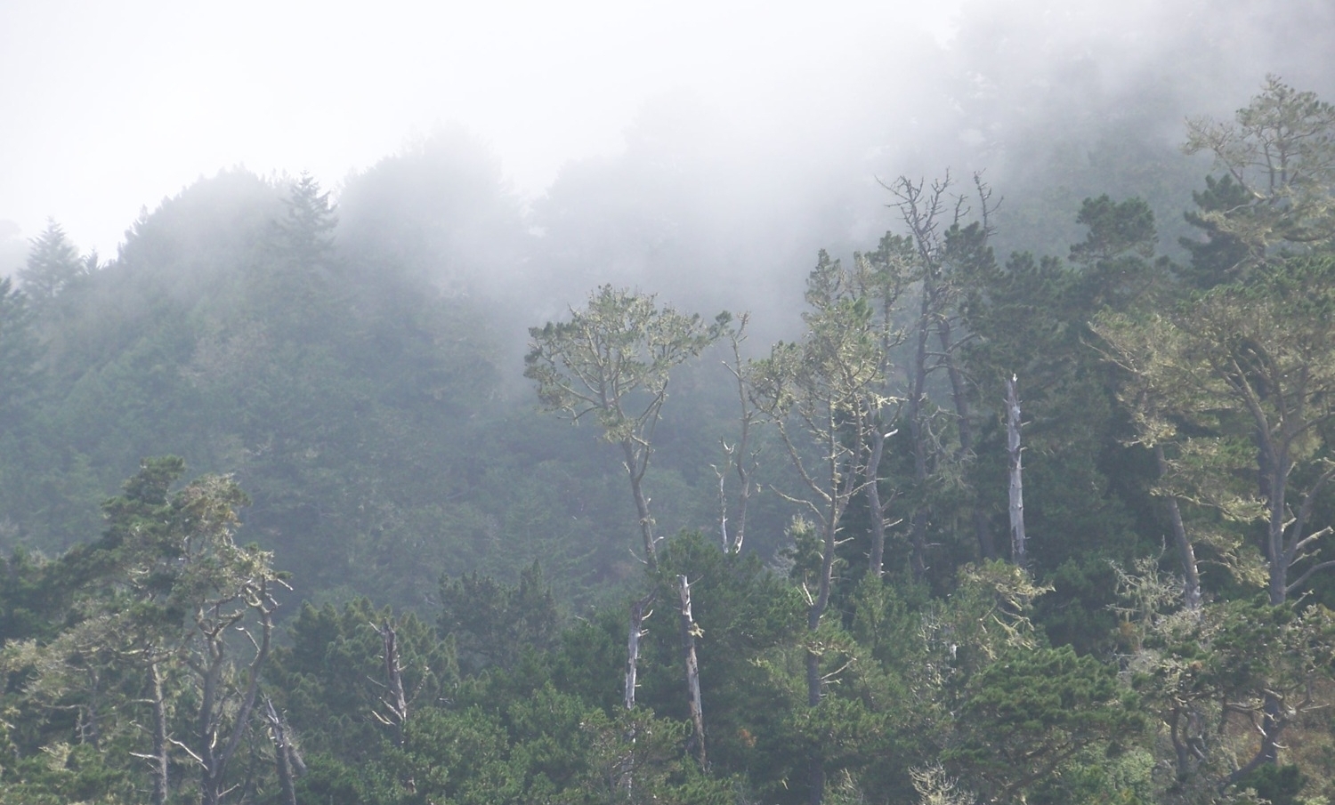
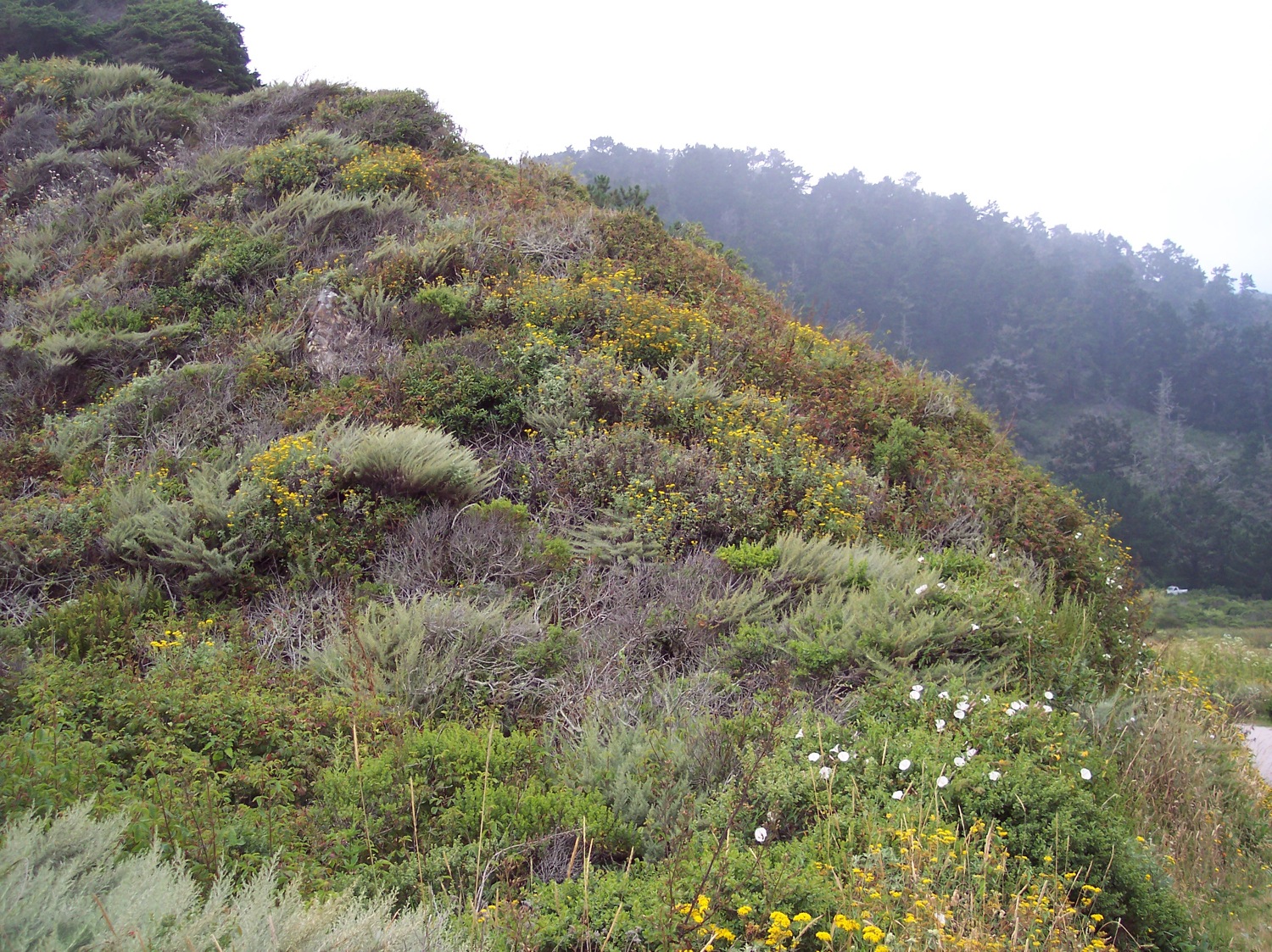
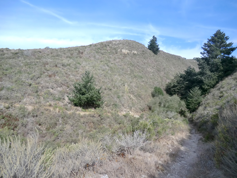
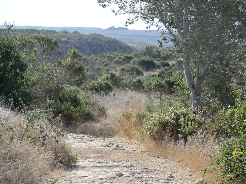
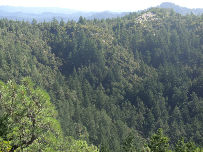
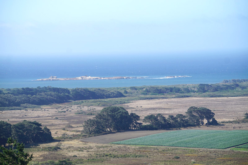
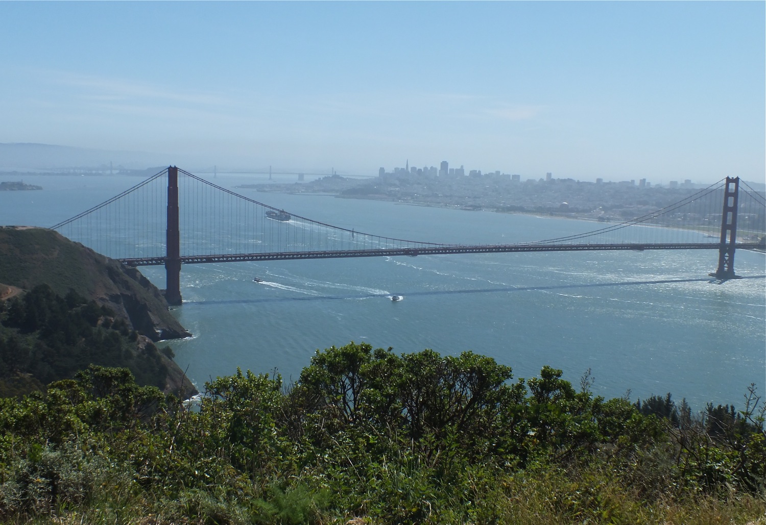
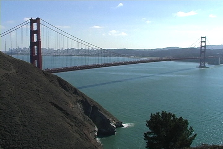
Northwest Open Coast Region of the Santa Cruz Mountains (of, from and within)
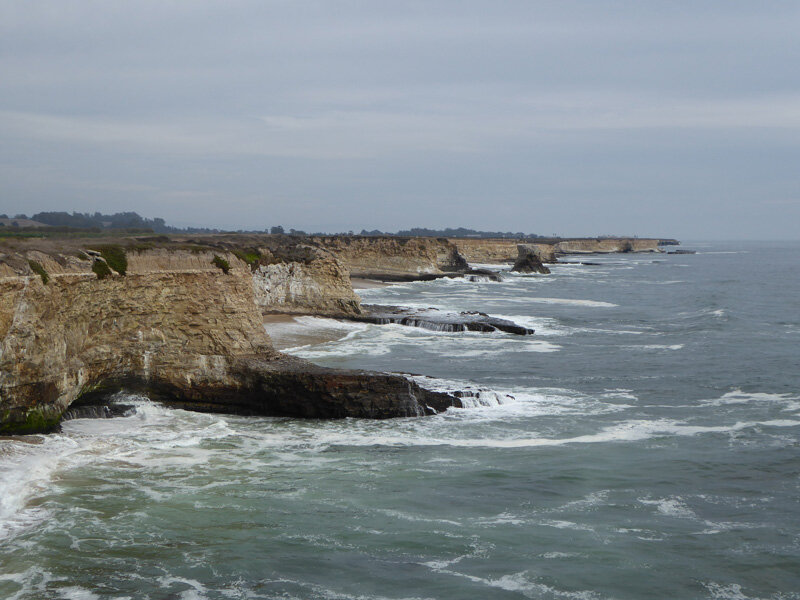
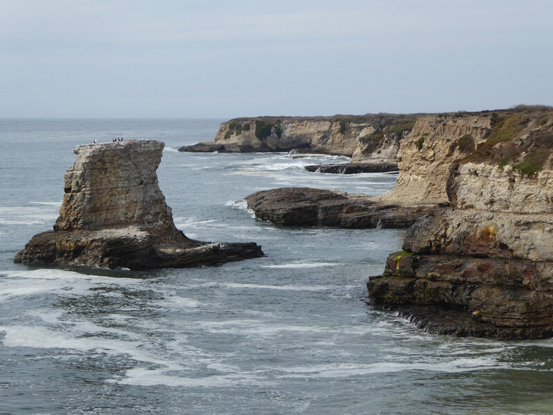
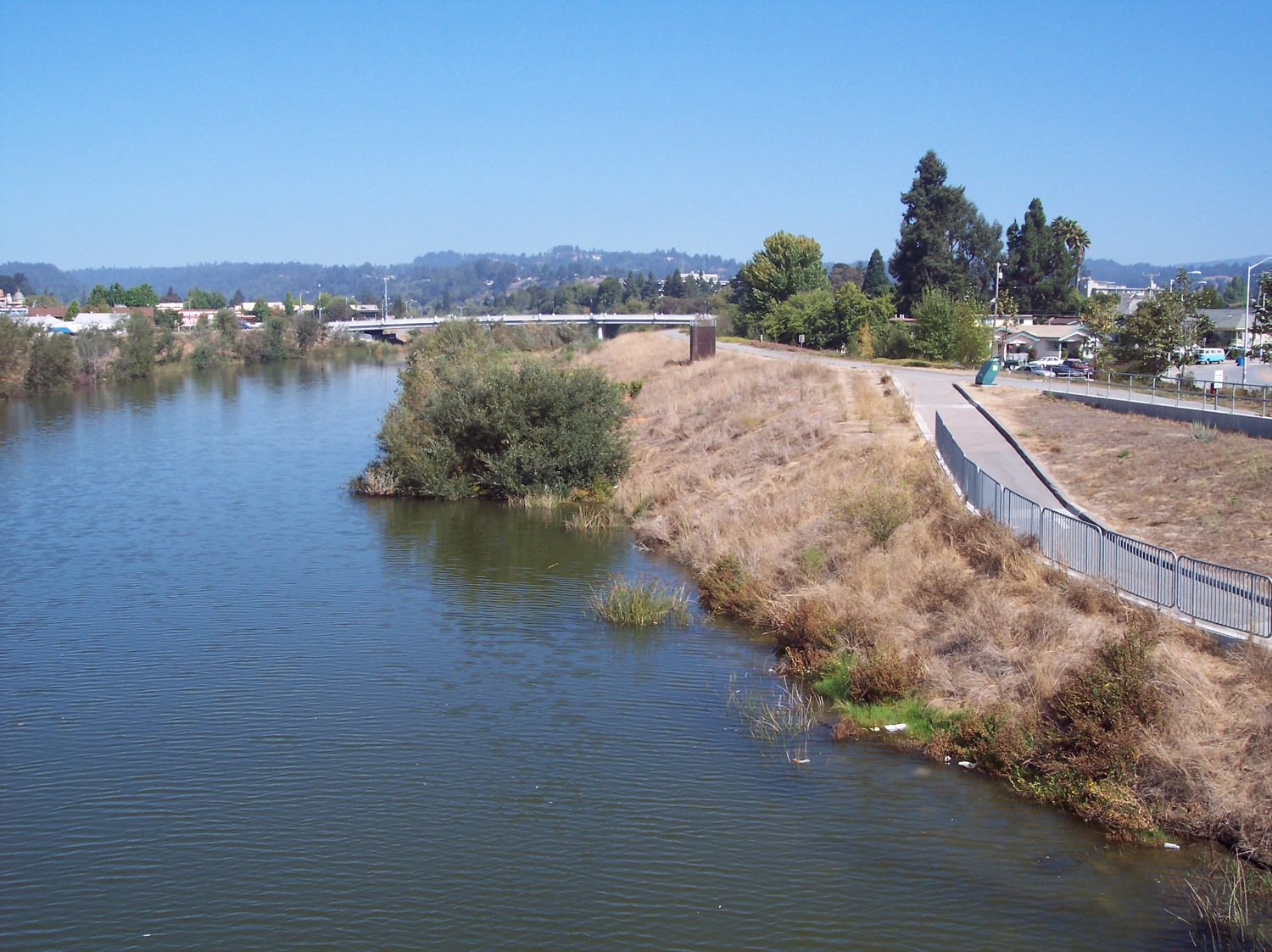
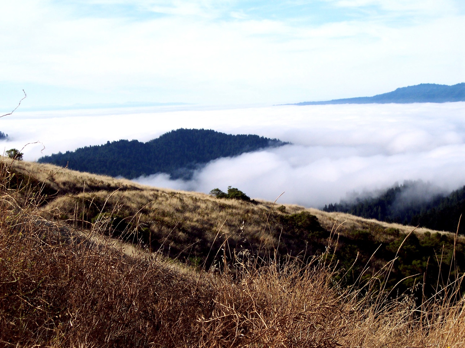
The open coast watersheds flow into the Pacific Ocean and they are more strongly influenced by the coastal currents, upwelling, fog and storms that come in from the Pacific Ocean. The oceans influence diminishes with distance from the coast and elevation. Many of the larger streams and rivers form seasonal coastal lagoon ecosystems. This open coast area is generally cooler than inland locations on the eastern side of the peninsula. The coastal currents and fog play a large role in the distribution of the animals and vegetation found in these areas. It starts at about the Golden Gate/Baker Beach/Presidio area in San Francisco and down the coast to about the Wilder State Park/Younger Lagoon Watersheds north of Santa Cruz, which roughly mark the northern end of the Monterey Bay and the southern end of the coastal riparian vegetation. Temperatures near the coast are generally mild and daily and seasonal fluctuations are low.

Northeast Region of the Santa Cruz Mountains (of, from, and within)
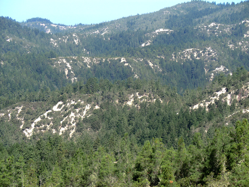
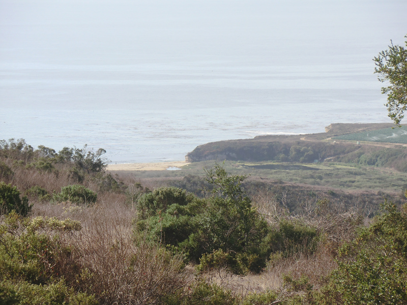
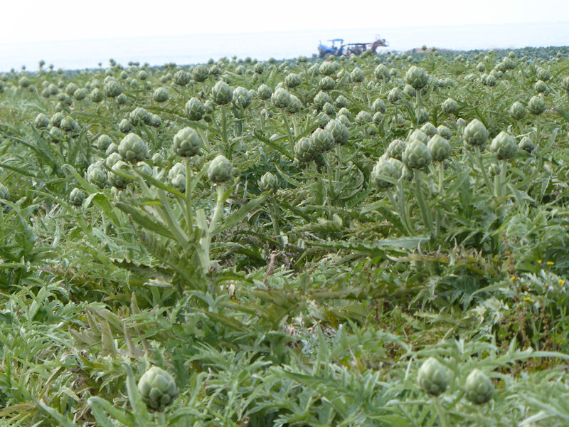
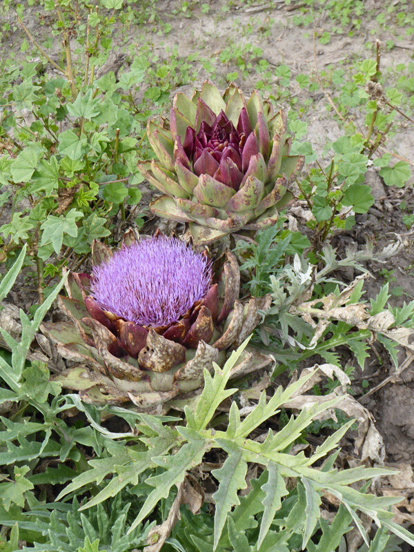
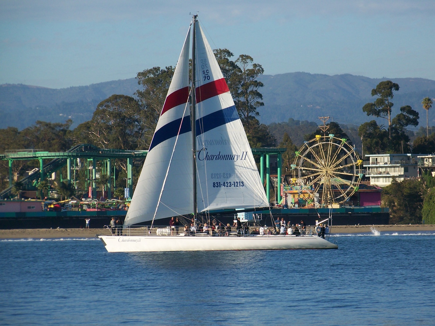
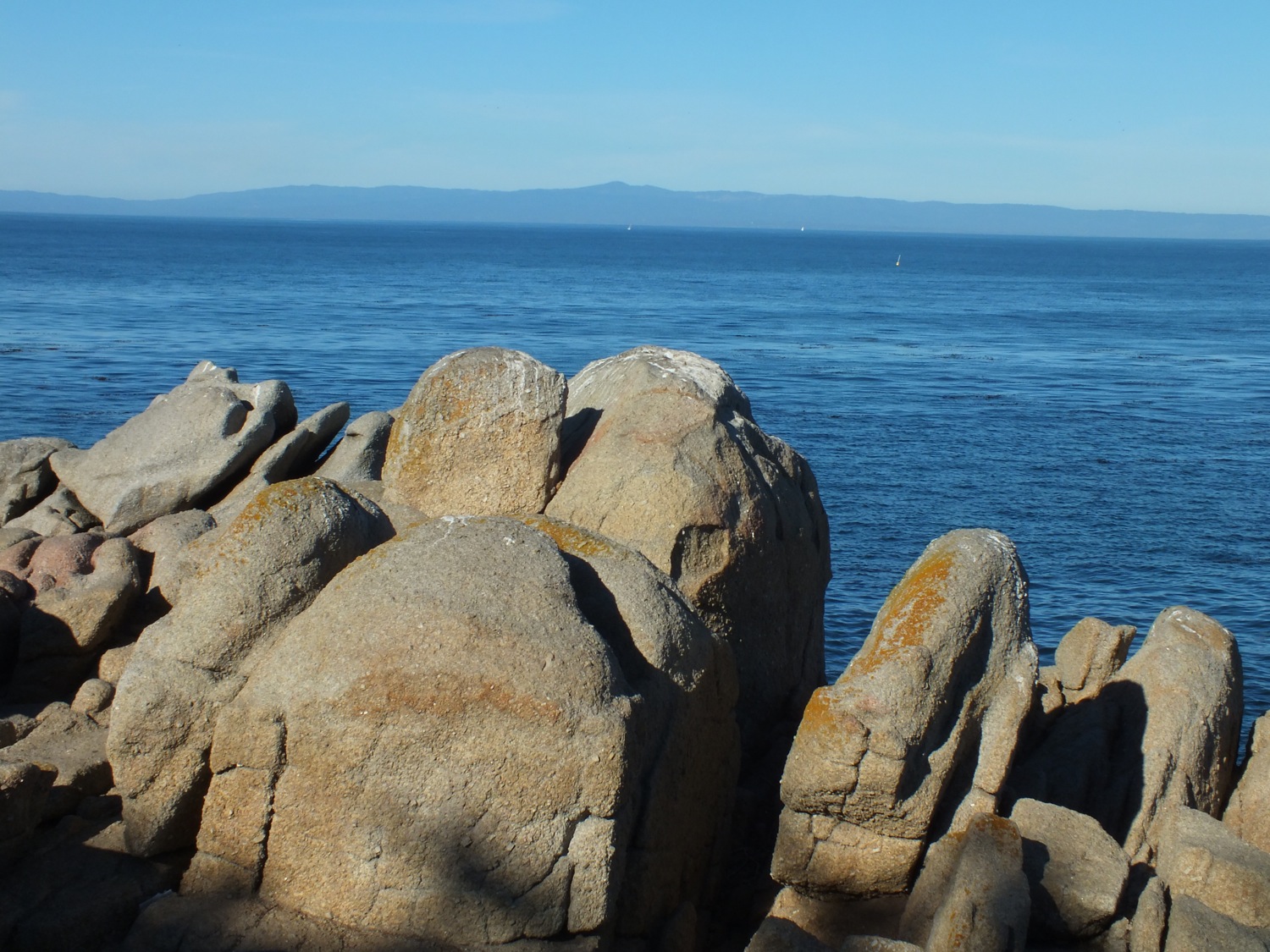
Southwest Region – Monterey Bay Part of the Santa Cruz Mountains (of, from, and within)

Sandhills of the Santa Cruz Mountains (of, from and within) (Under construction)
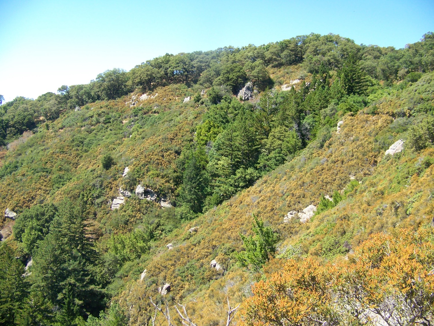
Southeast Region of the Santa Cruz Mountains (of, from and within)

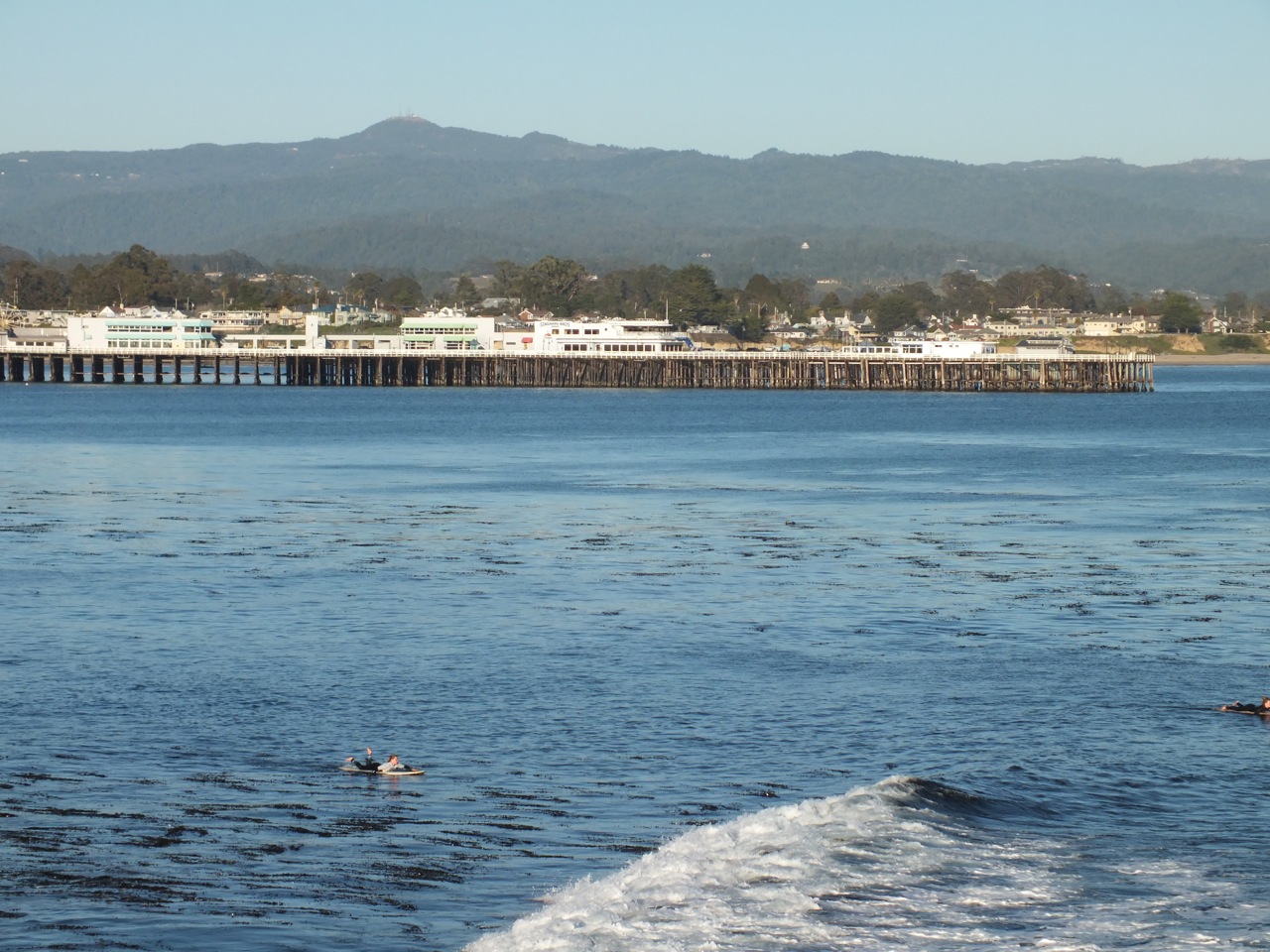
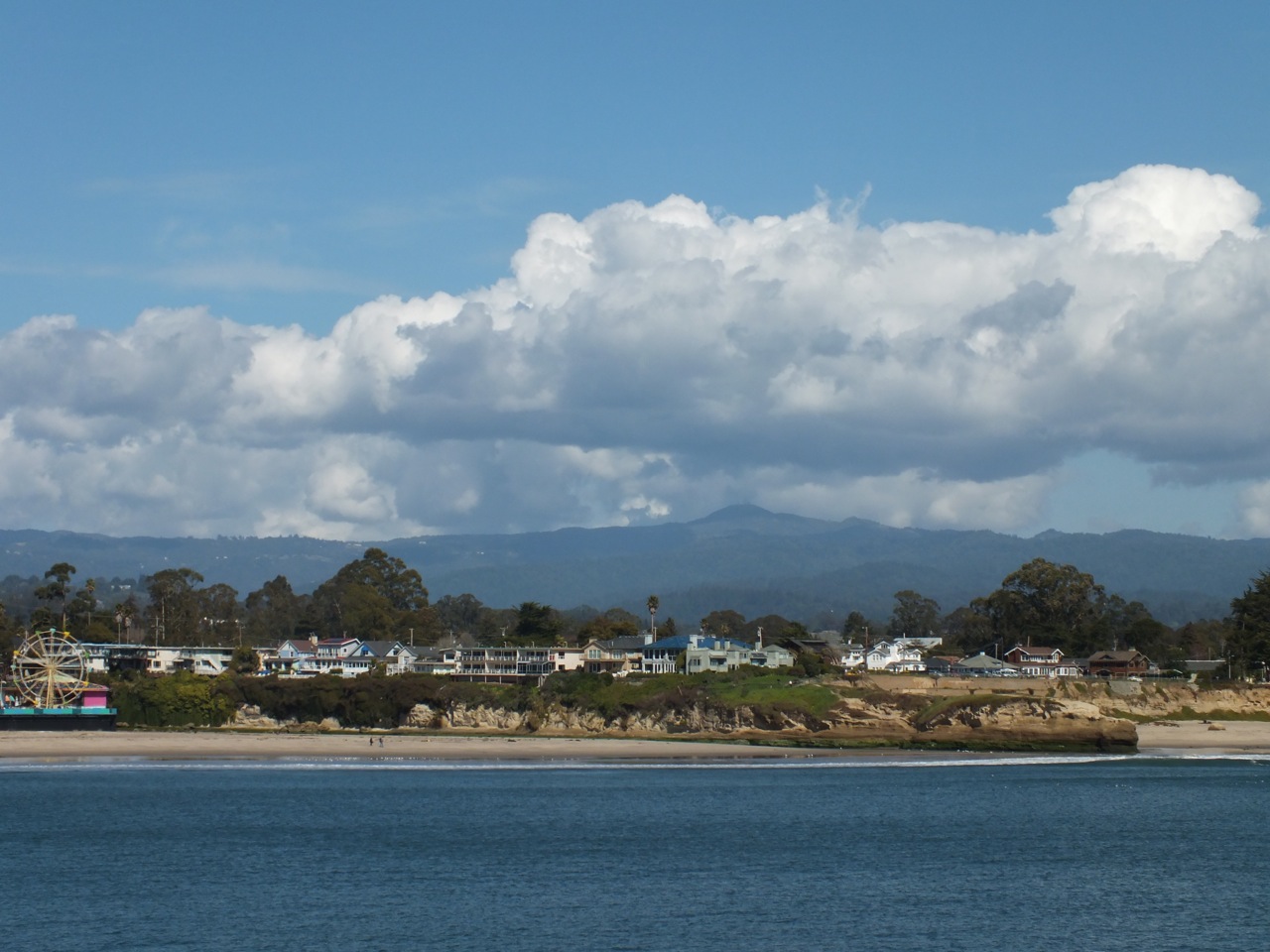
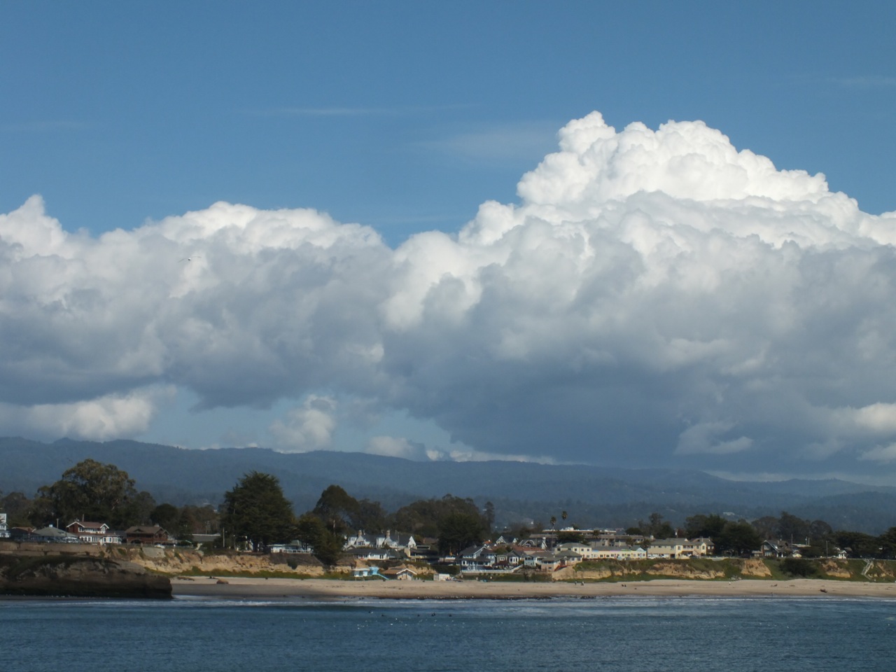
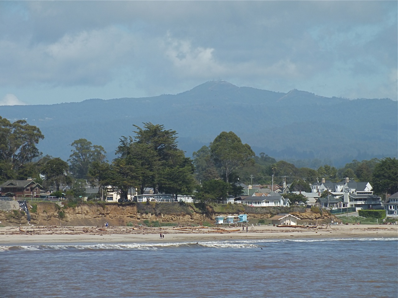
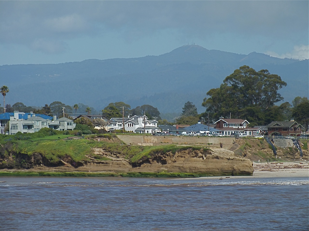
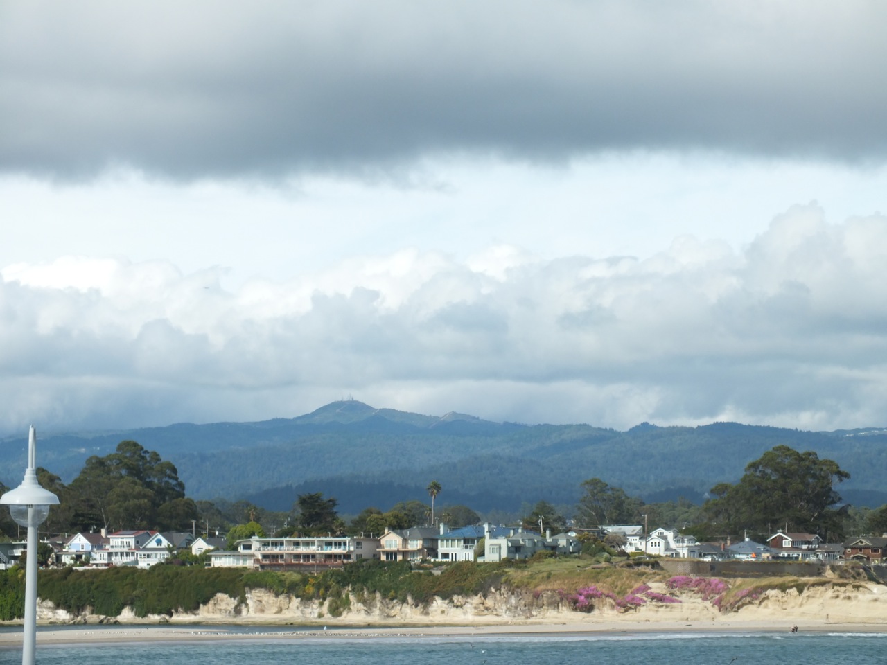
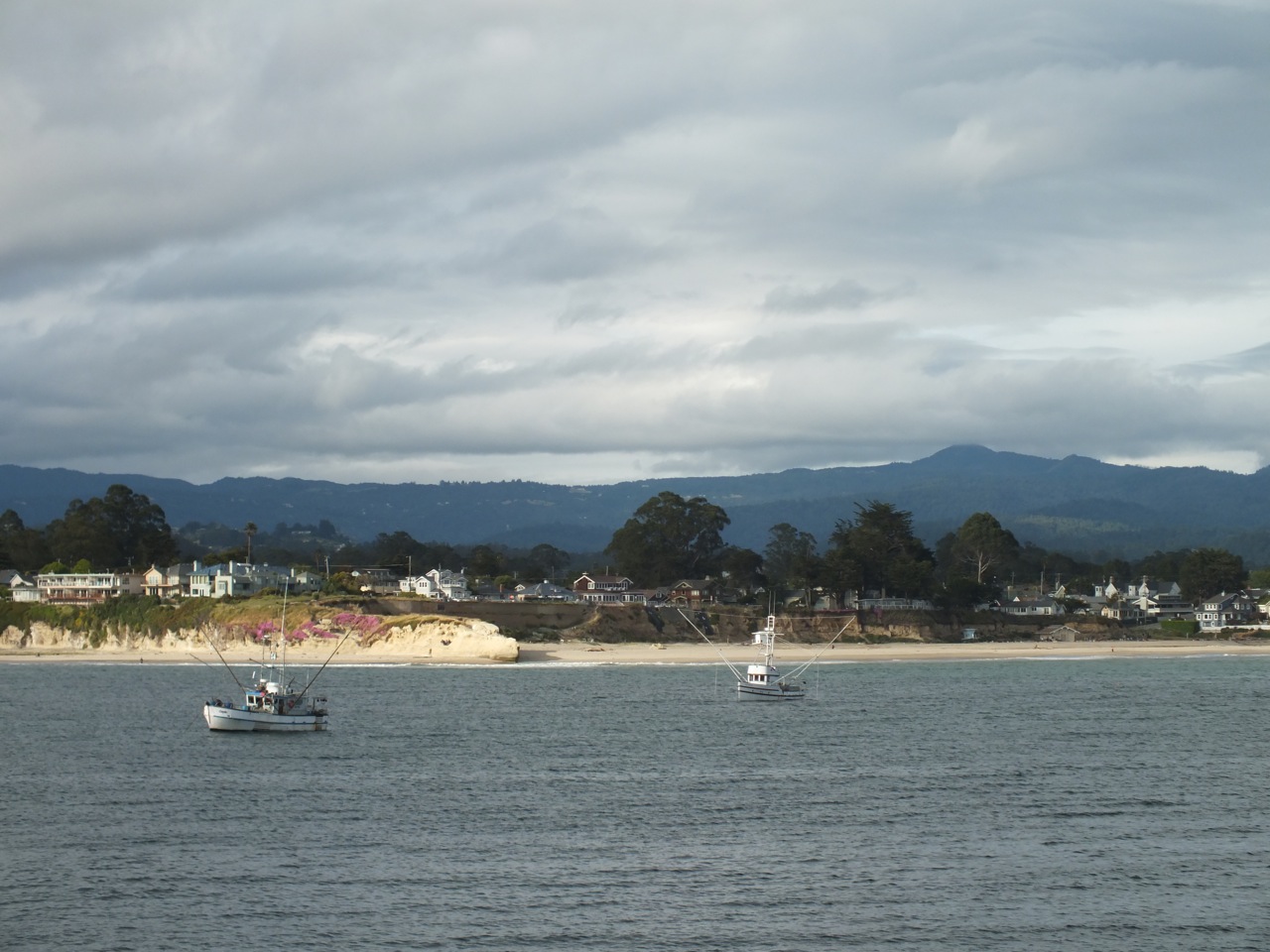
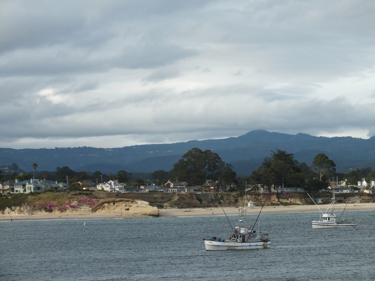
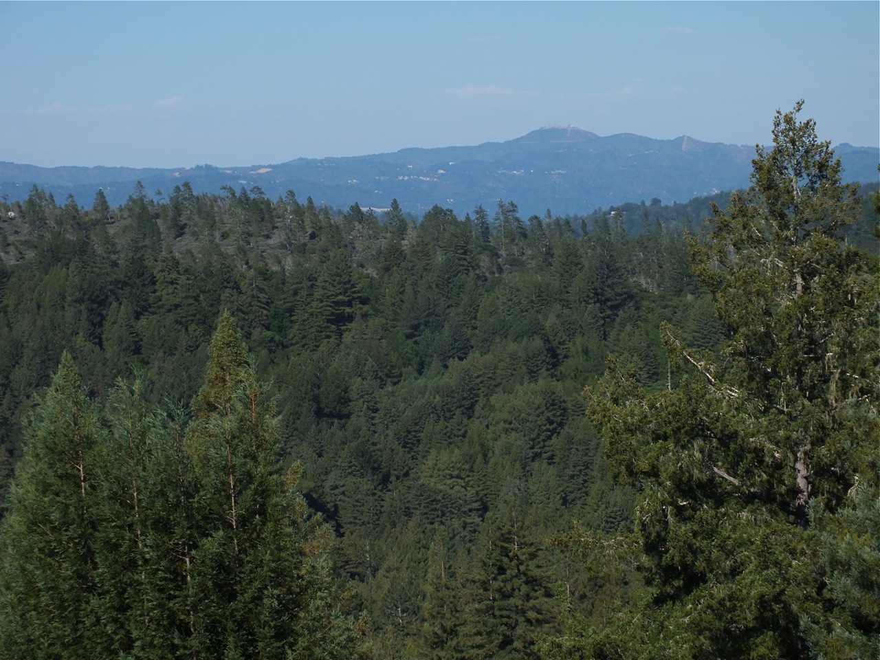
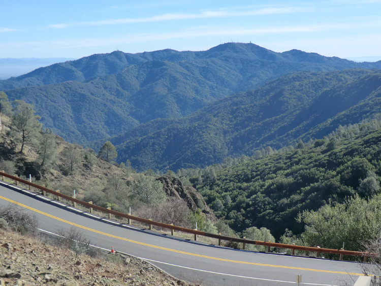
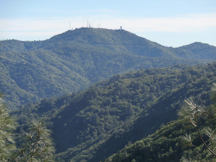
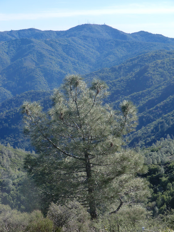
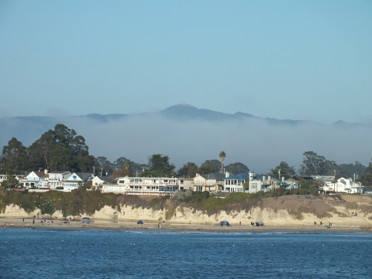
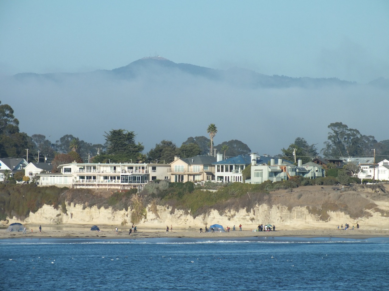
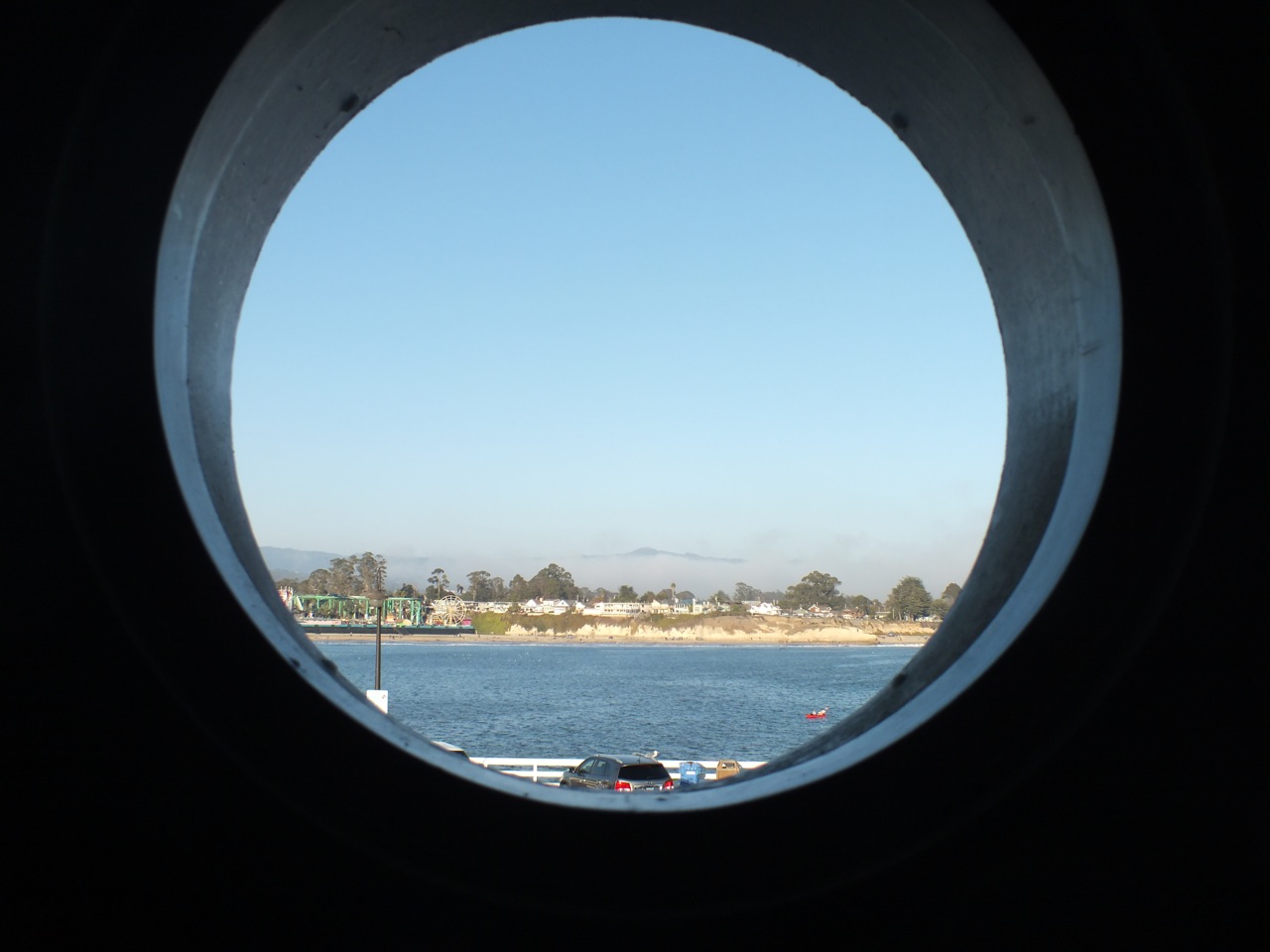
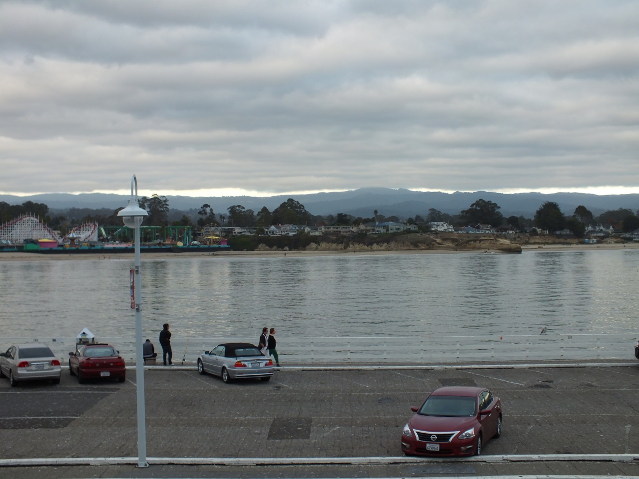
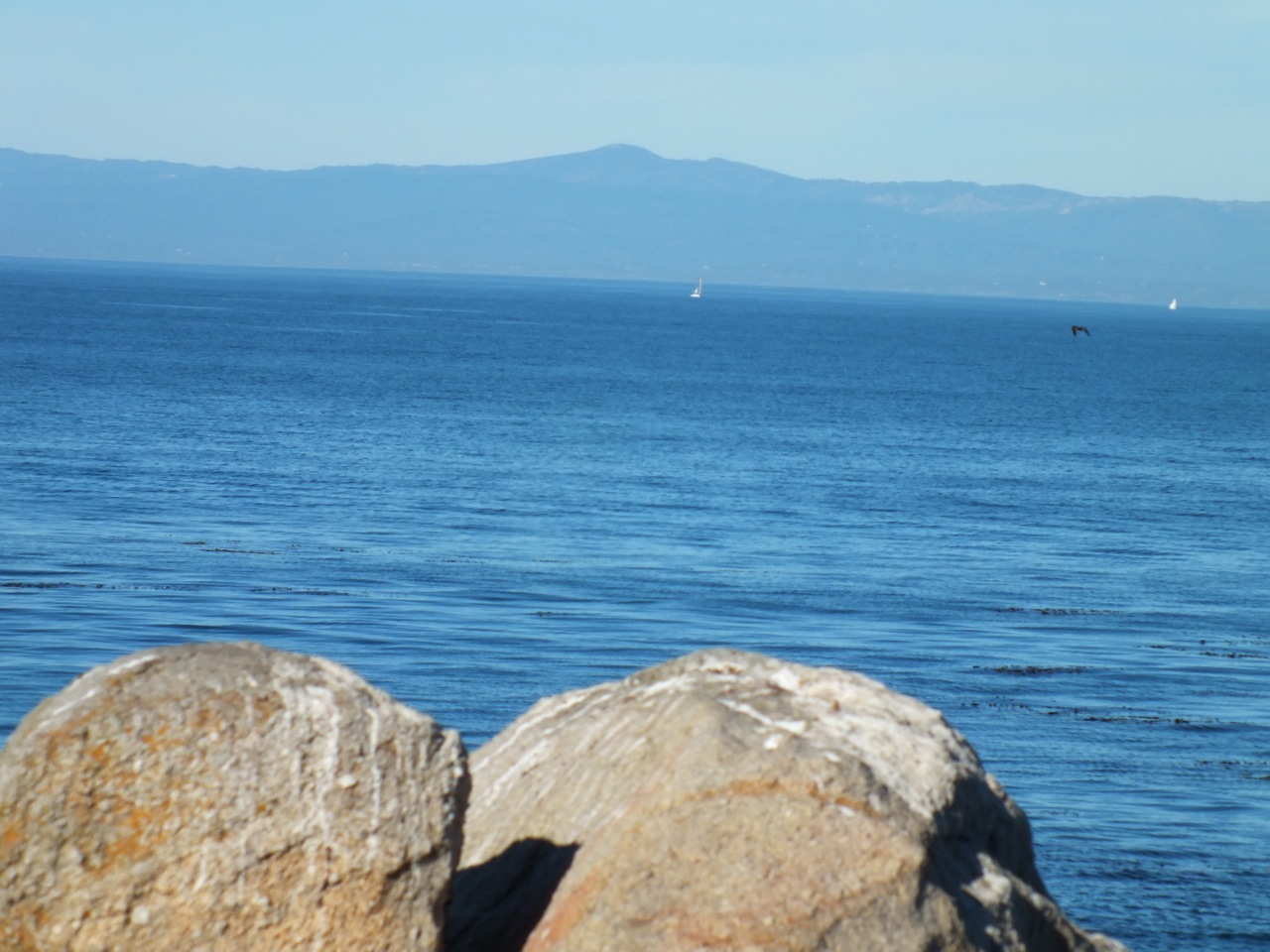
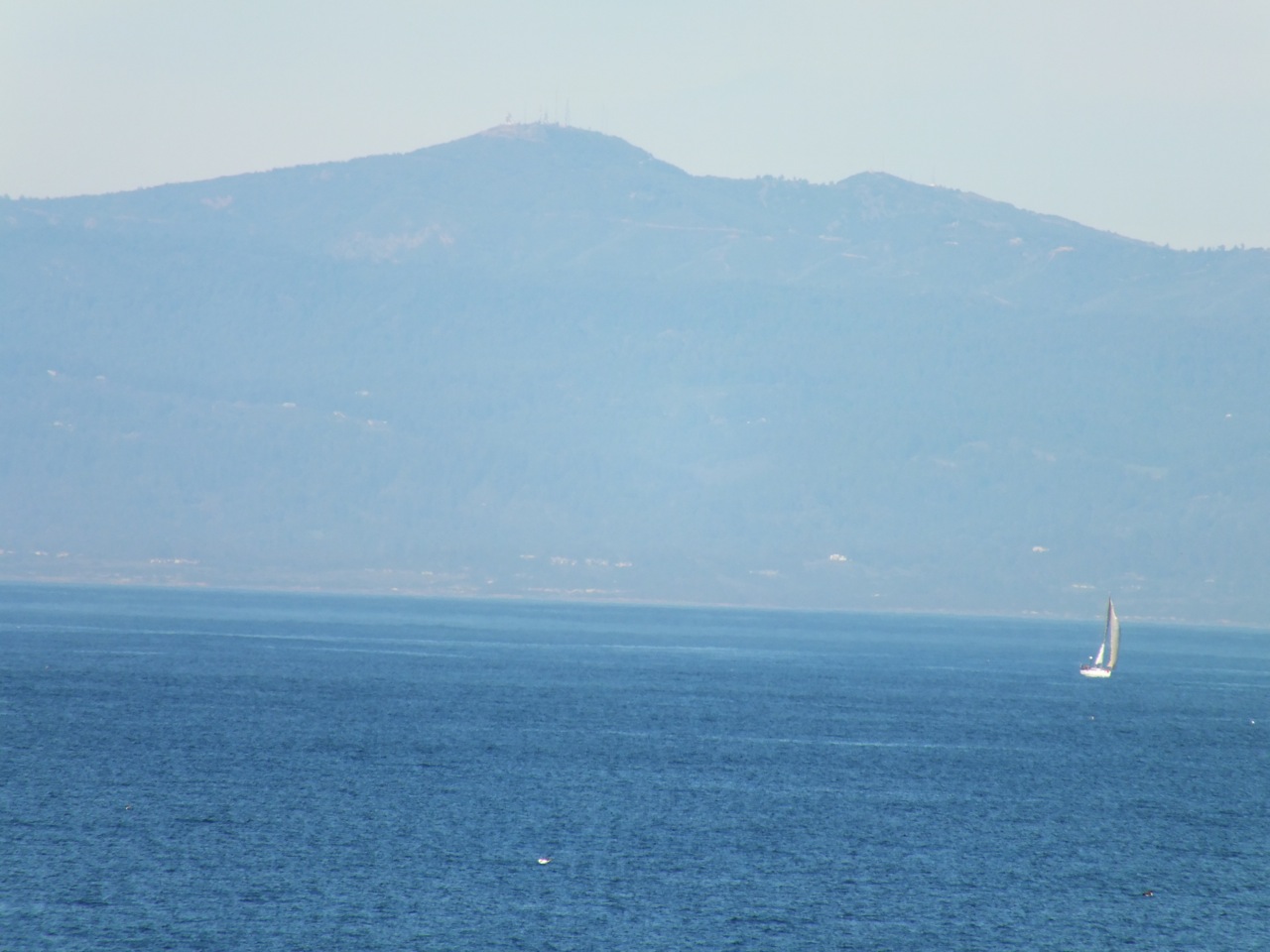
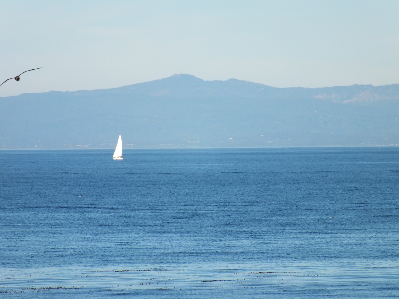
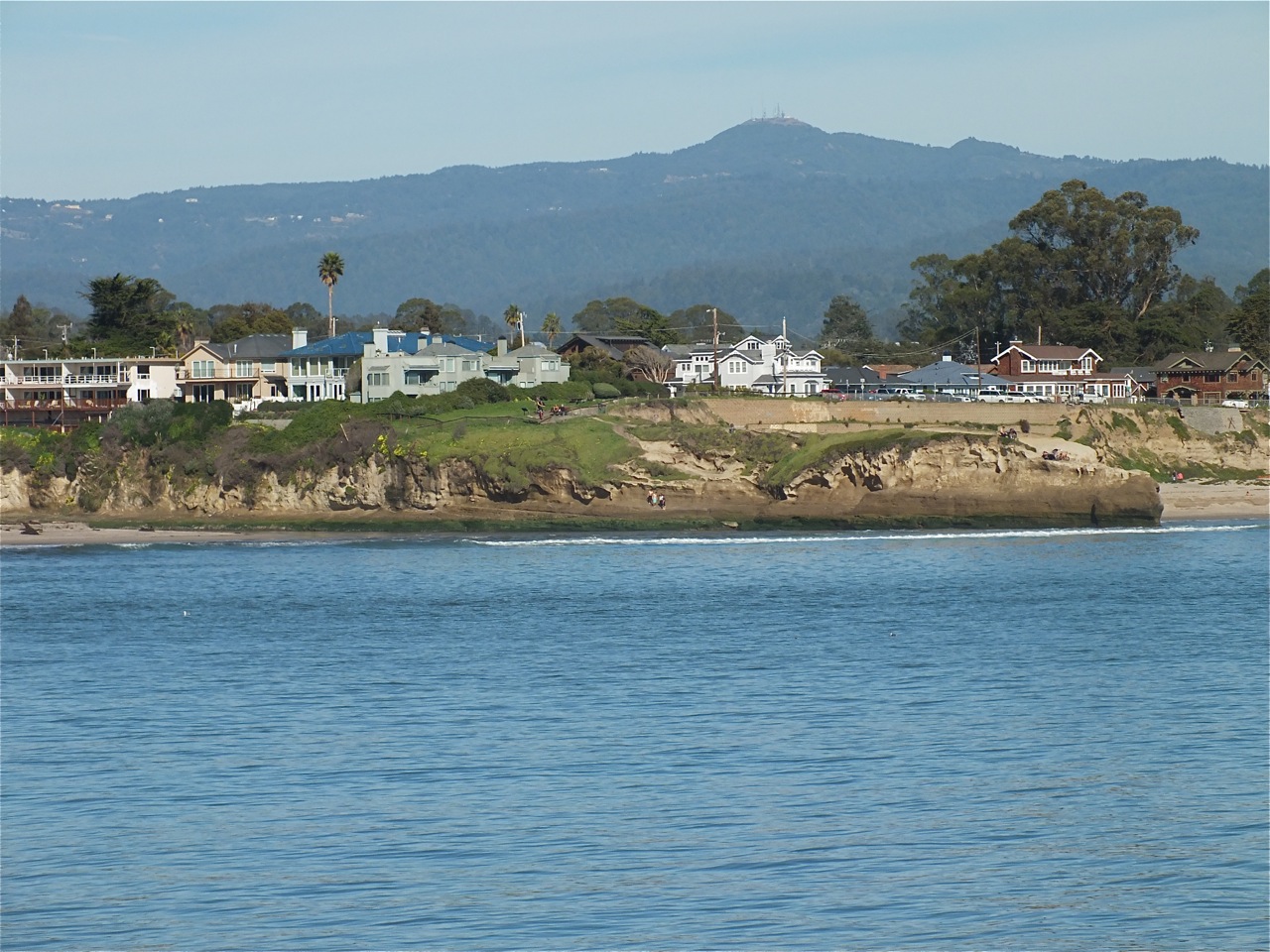
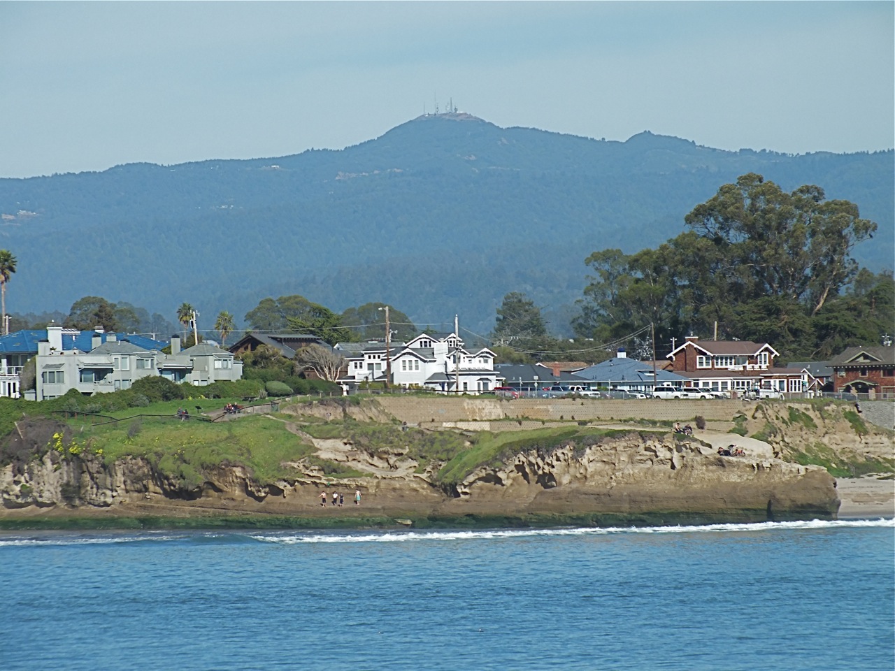
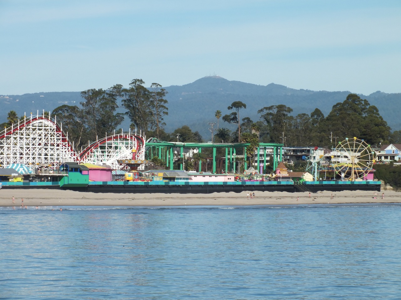
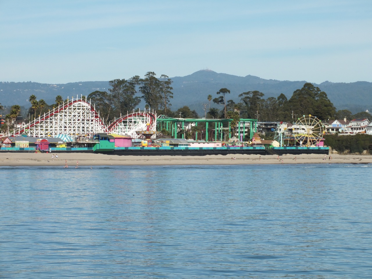
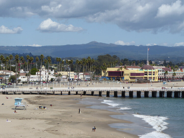
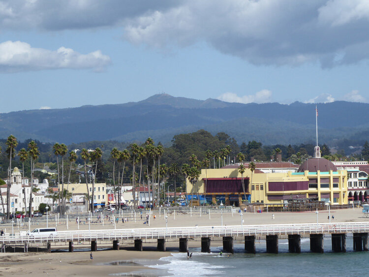
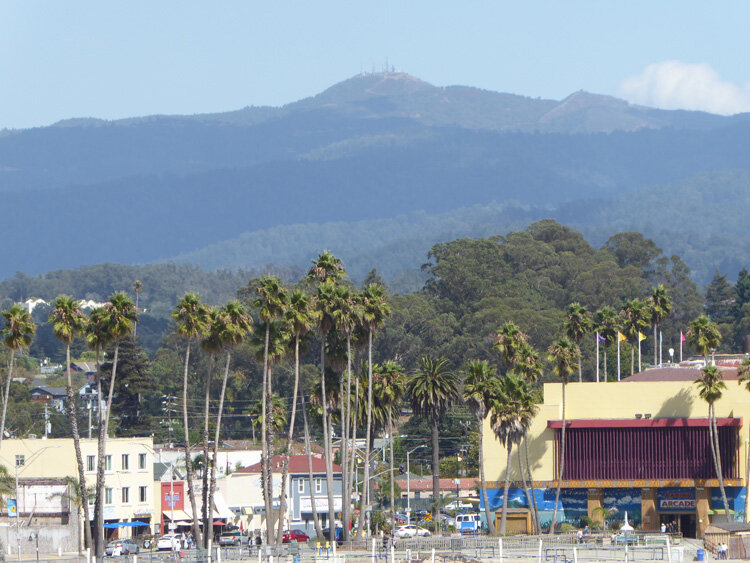
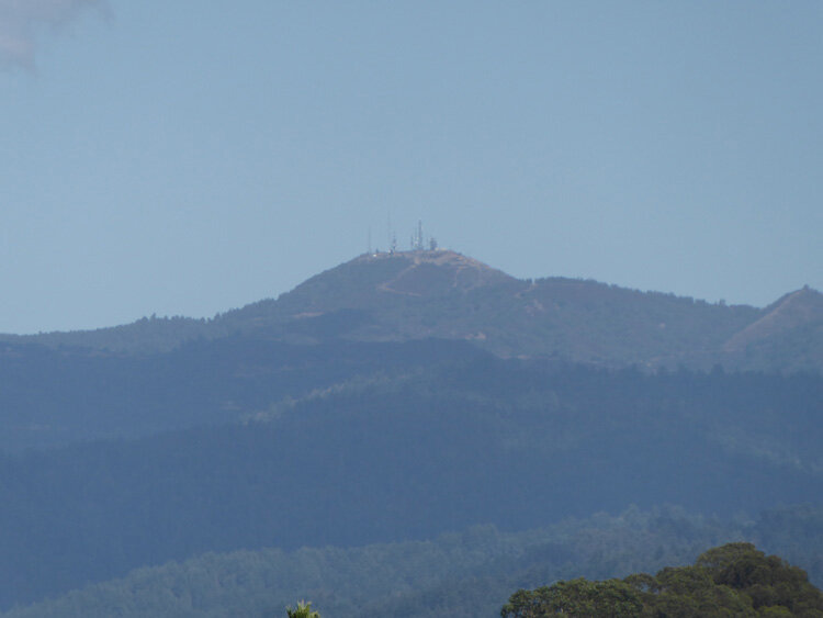
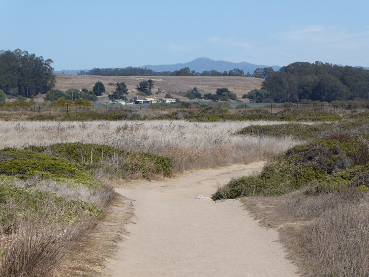
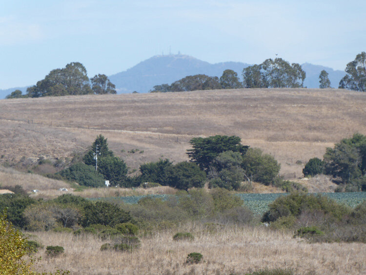
100 Views of Loma Prieta
Loma Prieta is the tallest mountain in the Santa Cruz Mountain Range being 3806 feet high and is located about 15 miles south of San Jose, California. Donald Clark, in his book Santa Cruz County Place Names, reports that the name is of Spanish-Mexican origin and means “a high chaparral covered point that looks black in the distance”. Loma Prieta is a reference point or land mark for many people in our bioregion and can be seen from many different locations in the greater Monterey Bay area. Equally varied are the many different perspectives in how it is revealed.
Inspired by the book, 100 View of Mount Fuji by Timothy Clark, 2001, Fred McPherson had created this spot on our website to show and honor the various ways that Loma Prieta can be viewed and perceived.